M6.6 Earthquake — 133 km ESE of Petropavlovsk-Kamchatsky, Russia

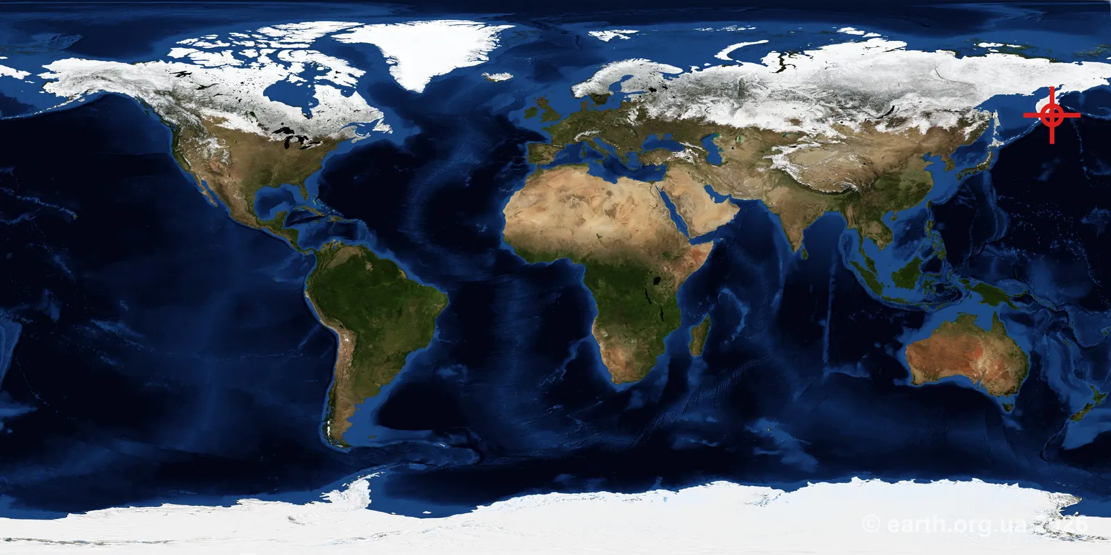
On 19 June 2026, 06:52 UTC, an earthquake of magnitude M6.6 was recorded in the region: 133 km ESE of Petropavlovsk-Kamchatsky, Russia. Coordinates: 52.7943° N, 160.5652° E Depth: 10 km Number of “did you feel it” reports (USGS DYFI): 1 The blue and white areas of the diagram show the directions of compression and extension during the rupture; the shape indicates the fault type (normal, reverse, or strike-slip). The solution yields two mathematically equivalent fault planes — which one is the actual rupture plane is usually unknown without additional geological context: ...
June 19, 2026 · 1 min · 125 words · Vadym Dolya
Global map showing the earthquake location

M6 Earthquake — 156 km ESE of Petropavlovsk-Kamchatsky, Russia

On 19 June 2026, 06:51 UTC, an earthquake of magnitude M6 was recorded in the region: 156 km ESE of Petropavlovsk-Kamchatsky, Russia. Coordinates: 52.6900° N, 160.8644° E Depth: 28.383 km The data is preliminary (status: reviewed) and may be revised by USGS as additional information becomes available. Source: USGS Earthquake Hazards Program

June 19, 2026 · 1 min · 52 words · Vadym Dolya

M6.6 Earthquake — central Mid-Atlantic Ridge

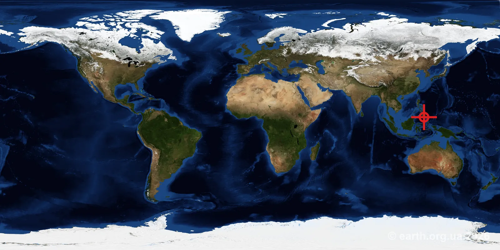
On 17 June 2026, 18:56 UTC, an earthquake of magnitude M6.6 was recorded in the region: central Mid-Atlantic Ridge. Coordinates: 0.5458° S, 20.0163° W Depth: 10 km The blue and white areas of the diagram show the directions of compression and extension during the rupture; the shape indicates the fault type (normal, reverse, or strike-slip). The solution yields two mathematically equivalent fault planes — which one is the actual rupture plane is usually unknown without additional geological context: ...
June 17, 2026 · 1 min · 112 words · Vadym Dolya

M6.3 Earthquake — 262 km SSE of Dunhuang, China

On 16 June 2026, 09:06 UTC, an earthquake of magnitude M6.3 was recorded in the region: 262 km SSE of Dunhuang, China. Coordinates: 37.8880° N, 95.4919° E Depth: 10 km Number of “did you feel it” reports (USGS DYFI): 1 The blue and white areas of the diagram show the directions of compression and extension during the rupture; the shape indicates the fault type (normal, reverse, or strike-slip). The solution yields two mathematically equivalent fault planes — which one is the actual rupture plane is usually unknown without additional geological context: ...

June 16, 2026 · 1 min · 125 words · Vadym Dolya

M6.7 Earthquake — 42 km SE of Palu, Indonesia

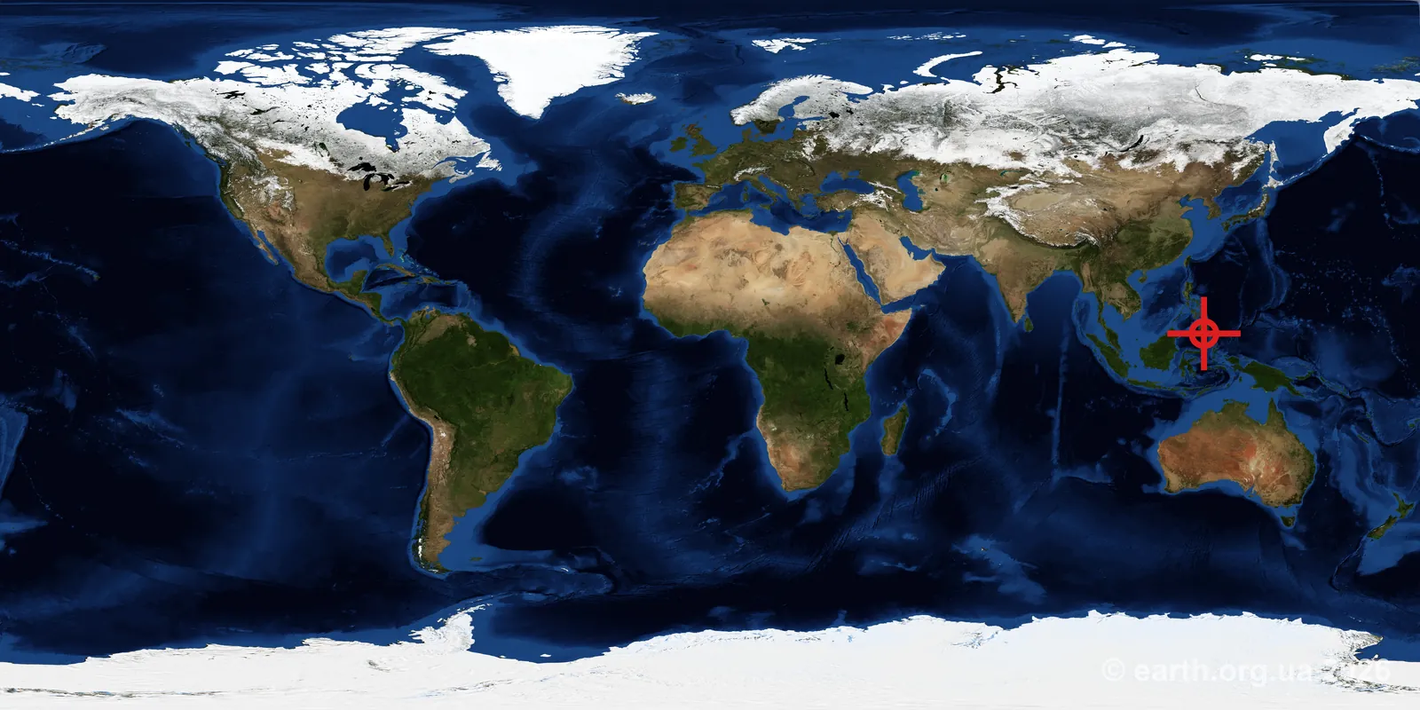
On 16 June 2026, 03:27 UTC, an earthquake of magnitude M6.7 was recorded in the region: 42 km SE of Palu, Indonesia. Coordinates: 1.1245° S, 120.1842° E Depth: 11 km Number of “did you feel it” reports (USGS DYFI): 9 The blue and white areas of the diagram show the directions of compression and extension during the rupture; the shape indicates the fault type (normal, reverse, or strike-slip). The solution yields two mathematically equivalent fault planes — which one is the actual rupture plane is usually unknown without additional geological context: ...

June 16, 2026 · 1 min · 125 words · Vadym Dolya

M6.2 Earthquake — 68 km ESE of Pondaguitan, Philippines

On 15 June 2026, 09:18 UTC, an earthquake of magnitude M6.2 was recorded in the region: 68 km ESE of Pondaguitan, Philippines. Coordinates: 6.2076° N, 126.7773° E Depth: 84 km Number of “did you feel it” reports (USGS DYFI): 30 The blue and white areas of the diagram show the directions of compression and extension during the rupture; the shape indicates the fault type (normal, reverse, or strike-slip). The solution yields two mathematically equivalent fault planes — which one is the actual rupture plane is usually unknown without additional geological context: ...

June 15, 2026 · 1 min · 125 words · Vadym Dolya

M6 Earthquake — Auckland Islands, New Zealand region

On 10 June 2026, 00:44 UTC, an earthquake of magnitude M6 was recorded in the region: Auckland Islands, New Zealand region. Coordinates: 49.6503° S, 164.0868° E Depth: 10 km The blue and white areas of the diagram show the directions of compression and extension during the rupture; the shape indicates the fault type (normal, reverse, or strike-slip). The solution yields two mathematically equivalent fault planes — which one is the actual rupture plane is usually unknown without additional geological context: ...

June 10, 2026 · 1 min · 114 words · Vadym Dolya

M6.1 Earthquake — 99 km WNW of Mantua, Cuba

On 08 June 2026, 18:00 UTC, an earthquake of magnitude M6.1 was recorded in the region: 99 km WNW of Mantua, Cuba. Coordinates: 22.7910° N, 85.0919° W Depth: 26 km Number of “did you feel it” reports (USGS DYFI): 5776 The blue and white areas of the diagram show the directions of compression and extension during the rupture; the shape indicates the fault type (normal, reverse, or strike-slip). The solution yields two mathematically equivalent fault planes — which one is the actual rupture plane is usually unknown without additional geological context: ...

June 8, 2026 · 1 min · 125 words · Vadym Dolya
Global map showing the earthquake location

M6.5 Earthquake — 18 km SW of Balangonan, Philippines

On 08 June 2026, 00:55 UTC, an earthquake of magnitude M6.5 was recorded in the region: 18 km SW of Balangonan, Philippines. Coordinates: 5.4747° N, 125.2173° E Depth: 75.065 km Number of “did you feel it” reports (USGS DYFI): 297 The data is preliminary (status: reviewed) and may be revised by USGS as additional information becomes available. Source: USGS Earthquake Hazards Program

June 8, 2026 · 1 min · 62 words · Vadym Dolya
Global map showing the earthquake location

M6 Earthquake — 5 km SSW of Pangyan, Philippines

On 07 June 2026, 23:49 UTC, an earthquake of magnitude M6 was recorded in the region: 5 km SSW of Pangyan, Philippines. Coordinates: 5.6563° N, 125.2554° E Depth: 35 km Number of “did you feel it” reports (USGS DYFI): 6 The data is preliminary (status: reviewed) and may be revised by USGS as additional information becomes available. Source: USGS Earthquake Hazards Program

June 7, 2026 · 1 min · 62 words · Vadym Dolya